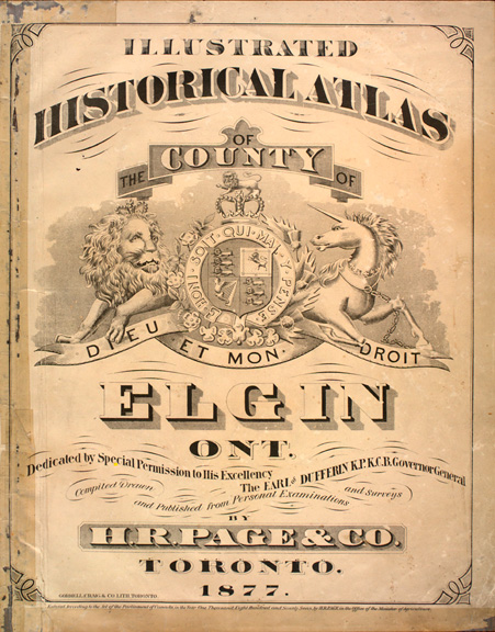
Between 1874 and 1881, approximately forty county atlases were published in Canada, covering counties in the Maritimes, Ontario and Quebec. Thirty-two of these atlases were produced for Ontario by the following five companies: H. Belden & Co. (17); H.R. Page & Co. (8); Walker & Miles (5); J.H. Meacham & Co. (1); H. Parsell (1). Two types of county atlases exist for Ontario, those which covered a single county or multiple adjacent counties, and those which were published as supplements to Dominion of Canada atlases. In total, 40 Ontario counties were covered by these 32 atlases.
Each of the county atlases consisted of a historical text, township and town maps, portraits, views and patrons' directory / business cards. But more important, names of residents were marked on the lots of the township maps in these county atlases. Unfortunately only the names of subscribers were recorded on the township maps for the Dominion of Canada supplements. All of these atlases were sold by subscription. Prominent county residents paid an additional sum to have biographical sketches, portraits and views of their residences or businesses included in the atlases.
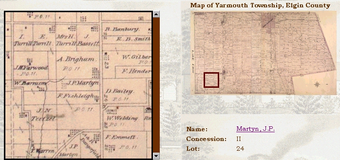
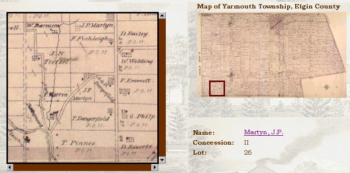
A township in Ontario is usually rectangular in shape, unless it borders a major river or lake. Townships are divided into concessions. Each concession is a strip of land 1 and 1/4 mile wide. Concessions can run in any direction and are usually separated by a road. Concessions are numbered with Roman Numerals (V, IV, etc). When concessions do not run the length or width of the township because of water, they are usually labelled with letters (A, B, etc). A gore is a part of a township that does not fit into the regular shape.
Concessions are divided into lots that use Arabic numbers (3, 4, etc). Originally lots were 200 acres, which could then be easily divided into parcels of 100 acres. The lots ran parallel to the road.
| Last Name | Martyn |
| First Name | J.P. |
| Township | Yarmouth |
| Atlas Date | 1877 |
| Concession and Lot |
II, 24, Lot Size 50
 |
II, 26, Lot Size 50
 |
| Last Name | Martyn |
| First Name | J.P. |
| Nativity | England |
| Business | Insurance and loan agent, Talbot Street |
| Year Settled | 1851 |
| Post Office | St. Thomas |
| Town | St. Thomas |
| Township | Yarmouth |
| Atlas Date | 1877 |